

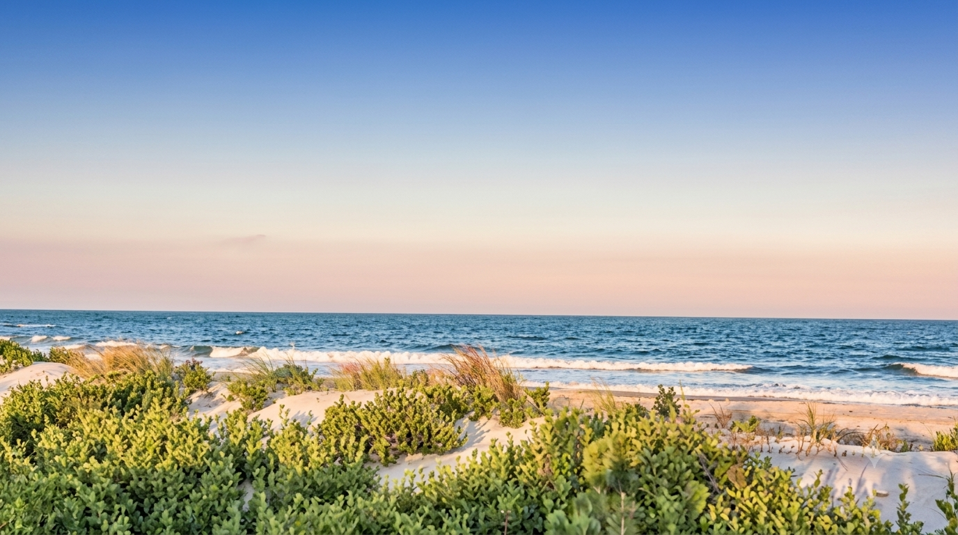
Jersey Shore visitors face a hot, humid Thursday with moderate rip currents, very high UV, and a heat advisory as marine conditions shift through Saturday ahead of weekend.
WEBDESK – NJNEWSLINE
A Hot and Humid Day Awaits at the Jersey Shore
Beachgoers heading to the Jersey Shore on Thursday, August 6, can expect warm and increasingly uncomfortable conditions, with temperatures reaching the low 90s and humidity adding to the heat. A heat advisory remains in effect through 8 p.m. Saturday, making Thursday more than just another typical summer beach day.
The latest Jersey Shore report shows air temperatures ranging from 82 to 91 degrees, while the heat index could climb as high as 103 degrees. The combination of heat and humidity increases the risk of heat-related illness, particularly for people spending long periods outdoors.
Visitors are being urged to drink plenty of fluids, limit prolonged exposure to direct sunlight and take breaks in air-conditioned spaces. The National Weather Service also recommends checking on relatives and neighbors who may be particularly vulnerable to extreme heat.
Moderate Rip Current Risk Remains Along the Coast
The heat is not the only concern for people planning to enter the water. A moderate risk of rip currents is in effect along the New Jersey coast, with the threat especially notable off beaches in Atlantic and Cape May counties.
Rip currents can be dangerous because they may pull swimmers away from the shoreline even when waves appear relatively small. Thursday’s waves are forecast at just 1 to 2 feet, which could make the ocean appear calm while dangerous currents remain possible in the surf zone.
Beachgoers should stay close to lifeguarded areas, follow posted warnings and avoid entering the water when officials or lifeguards advise against swimming. Anyone caught in a rip current should avoid attempting to swim directly against the current and instead move parallel to the shoreline until they can escape the current.
Water Temperatures Could Offer Some Relief
Ocean temperatures are expected to range between 73 and 81 degrees, close to the normal range of 72 to 82 degrees for this time of year.
That means the water should be relatively comfortable for many swimmers, especially compared with the hotter air temperatures expected along the coast.
The contrast between hot air and moderate ocean temperatures could make the beach appealing during the afternoon. However, visitors should not mistake comfortable water temperatures for completely safe conditions, particularly with the moderate rip current risk continuing.
Winds Pick Up During the Afternoon
Marine conditions are expected to become somewhat more active as Thursday progresses. Winds will begin from the southwest at around 5 to 10 knots before shifting to southerly winds of 10 to 15 knots during the afternoon. Gusts could reach around 20 knots.
Seas are expected to reach 2 to 3 feet, with southeast waves around 3 feet at a six-second interval and smaller easterly waves also present.
The changing wind pattern will be particularly relevant to boaters, anglers and anyone planning to spend extended periods offshore. Conditions can change quickly when winds strengthen, so checking the latest marine forecast before heading out remains important.
Friday Brings Another Chance of Showers and Storms
The marine forecast suggests that unsettled conditions could return Friday night.
Friday’s winds are expected to begin from the southwest at around 5 to 10 knots, becoming southerly at 10 to 15 knots during the afternoon, with gusts near 20 knots. Seas should remain around 2 to 3 feet.
A chance of showers and thunderstorms is expected Friday evening, followed by another chance of showers after midnight. These conditions could make outdoor and marine activities less predictable for people planning extended Shore trips.
Weekend Marine Conditions Remain Manageable but Changeable
Saturday is expected to remain relatively manageable, although winds are forecast to strengthen during the afternoon.
Southwest winds of 5 to 10 knots could increase to 10 to 15 knots, with gusts reaching around 20 knots. Seas are expected to range from 2 to 4 feet during the day, increasing to 3 to 4 feet Saturday night.
By Sunday, conditions should become somewhat calmer, with southwest winds around 5 to 10 knots and seas between 2 and 3 feet. Monday’s marine conditions are also expected to remain relatively mild, although thunderstorms could bring locally higher winds and seas.
Tide Times Differ Across the Jersey Shore
Beach visitors should also consider local tide schedules when planning their day because tide times vary significantly along the New Jersey coast.
At Sandy Hook, low tide is expected at 7:49 a.m., followed by high tide at 2:17 p.m. Another low tide is forecast for 9:11 p.m., with the next high tide arriving early Friday.
At Long Branch, low tide comes at 7:13 a.m., followed by high tide at 1:51 p.m. and another low at 8:35 p.m.
Further south, Atlantic City is expected to see low tide at 7:25 a.m., high tide at 1:54 p.m. and another low tide at 8:35 p.m. Cape May has a later schedule, with low tide at 8:32 a.m. and high tide at 3:08 p.m.
These differences can matter to swimmers, anglers, boaters and families planning activities around the shoreline.
Very High UV Levels Add Another Beach Hazard
Sun exposure will also require attention Thursday. The UV Index is forecast at 9, classified as very high, meaning unprotected exposure can lead to sun damage relatively quickly.
Beachgoers should consider sunscreen, protective clothing, sunglasses and regular breaks from direct sunlight. Staying hydrated is especially important given the heat advisory and expected heat index.
Sunrise is expected around 5:58 a.m., while sunset will be approximately 8:06 p.m., providing more than 14 hours of daylight for beach and outdoor activities.
What Jersey Shore Visitors Should Know
Thursday offers plenty of classic summer conditions at the Jersey Shore, but visitors will need to balance beach plans with several safety concerns.
The combination of heat, high humidity, very high UV exposure and moderate rip current risk means conditions require more preparation than the relatively small waves might suggest. The heat advisory is expected to remain in place through Saturday evening, while rip current concerns are particularly important for beaches in Atlantic and Cape May counties.
Swimmers should stay near lifeguards, follow local beach warnings and avoid taking unnecessary risks in the surf. People spending the day on the sand should stay hydrated and take regular breaks from the sun.
Boaters should also monitor changing winds and seas, particularly during the afternoon and around thunderstorms. Friday night could bring showers and thunderstorms, while Saturday may see stronger winds and somewhat higher seas before conditions improve into Sunday and Monday.
Overall, the Jersey Shore remains open for summer fun, but Thursday’s weather is a reminder that a beach day can involve several different hazards at once. With proper preparation, attention to lifeguard instructions and awareness of the heat and water conditions, visitors can enjoy the coast while taking the necessary precautions.
