

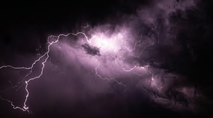
New Jersey faces severe thunderstorms, damaging winds and possible flash flooding, with residents urged to monitor weather alerts as dangerous conditions develop across the state.
WEBDESK – NJNEWSLINE
New Jersey residents should prepare for potentially dangerous weather as severe thunderstorms, damaging winds and heavy rainfall are expected to threaten parts of the state. The unsettled conditions could continue into the overnight hours, when additional downpours may increase the risk of localized flash flooding.
Severe Storms Could Develop Across New Jersey
Forecasters are closely watching conditions that could support thunderstorms across New Jersey. While not every community will necessarily experience severe weather, stronger storms could bring damaging wind gusts and periods of intense rainfall.
The storms could develop or strengthen as the day progresses, making it important for residents to monitor updated forecasts before making outdoor plans.
Strong winds can create additional hazards, particularly around trees, power lines and unsecured outdoor objects. Residents should take precautions before storms arrive and avoid remaining outside when severe weather moves into their area.
Damaging Winds Could Be the Biggest Threat
One of the primary concerns with the strongest thunderstorms is the potential for damaging wind gusts.
Powerful winds can knock down tree branches, damage property and create dangerous driving conditions. Motorists should be particularly cautious if they encounter a storm because sudden wind gusts can make it difficult to maintain control, especially for high-profile vehicles.
Residents should also consider bringing in or securing lightweight outdoor furniture, decorations and other loose items that could become dangerous if winds strengthen.
If a severe thunderstorm warning is issued for an area, residents should move indoors and stay away from windows until the storm passes.
Heavy Rain May Trigger Flash Flooding
Heavy rainfall is another concern as storms move through the state.
Some thunderstorms can release large amounts of rain within a short period, overwhelming drainage systems and causing water to collect rapidly on roads, streets and low-lying areas.
The flooding threat could become more significant overnight if additional rounds of thunderstorms or heavy showers move across the same areas.
Drivers should never attempt to cross a flooded roadway. Even relatively shallow moving water can be dangerous, while flooded roads may conceal damaged pavement or other hazards.
Residents in areas that have experienced flooding in the past should pay particular attention to local alerts as the weather develops.
Thunderstorms Could Bring Other Hazards
Strong thunderstorms may also produce frequent lightning and sudden reductions in visibility.
Lightning is dangerous even when a storm is not directly overhead. People who are outdoors should move inside as soon as they hear thunder rather than waiting for heavy rain or strong winds to arrive.
Heavy downpours can also make visibility difficult for drivers, increasing the risk of crashes. Motorists should slow down, increase following distance and avoid unnecessary travel during the strongest storms.
Overnight Weather Could Remain Unsettled
The weather threat may not end when the afternoon storms move away.
Additional rainfall could develop overnight, potentially worsening localized flooding in areas that have already received significant precipitation. Repeated rounds of rain can cause water levels to rise more quickly, particularly in places with poor drainage.
Residents should therefore continue monitoring weather alerts into the evening and overnight hours rather than assuming conditions will improve immediately after the first round of storms.
Residents Should Prepare Before Storms Arrive
The best approach is to prepare before severe weather develops.
New Jersey residents can charge phones and other essential devices, secure outdoor belongings and make sure they know where to shelter if a warning is issued.
People planning to travel should check updated weather information before leaving and consider delaying unnecessary trips if severe storms are approaching.
The exact timing and intensity of thunderstorms can change, so residents should rely on updated forecasts and official emergency alerts throughout the day.
A Weather Day That Could Change Quickly
For now, the biggest concerns are severe thunderstorms, damaging winds, heavy rainfall and possible flash flooding.
Not every part of New Jersey will necessarily experience the same conditions, but storms can develop quickly and become hazardous within a short period.
Residents should remain weather-aware throughout the day and overnight, particularly if thunderstorms begin moving into their area. A calm period does not necessarily mean dangerous weather is finished.
With strong winds and flooding among the main concerns, taking warnings seriously and moving indoors promptly could help residents stay safe as another potentially stormy period develops across New Jersey.
