

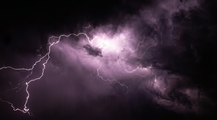
Powerful thunderstorms could trigger flash flooding, damaging winds, large hail and isolated tornadoes today, prompting weather officials to urge residents to remain alert and prepared.
WEBDESK – NJNEWSLINE
Powerful Storm System Could Turn Dangerous Today
Residents are being urged to stay alert as meteorologists warn that a powerful weather system could bring severe thunderstorms capable of producing flash flooding, damaging winds, large hail and isolated tornadoes later today.
Forecasters say conditions will become increasingly unstable as warm, humid air combines with an approaching cold front, creating an environment favourable for dangerous storms.
Calm Start Expected Before Storms Intensify
Much of the day is expected to begin with cloudy skies and very humid conditions, giving many people a false sense of calm.
Weather experts say the atmosphere will become more unstable during the afternoon, allowing thunderstorms to rapidly strengthen as they move across the region. Some storms could become severe within a short period.
Flash Flooding Could Develop Within Minutes
Heavy rainfall is expected to be one of the biggest concerns.
Some areas could receive intense downpours in a very short time, overwhelming drainage systems and causing flash flooding on roads, highways and low-lying neighbourhoods. Emergency officials warn motorists never to drive through flooded roads because water depth and road conditions can be deceptive.
Damaging Winds May Bring Down Trees and Power Lines
Strong wind gusts accompanying severe thunderstorms could cause widespread damage.
Forecasters say powerful winds may snap tree branches, uproot weaker trees and bring down power lines, increasing the likelihood of localised power outages. Residents are encouraged to secure outdoor furniture, umbrellas and other loose objects before storms arrive.
Large Hail and Isolated Tornadoes Remain Possible
Besides flooding and damaging winds, weather experts are also monitoring the possibility of large hail and isolated tornadoes.
Although tornadoes are expected to remain relatively limited, atmospheric conditions are favourable enough that officials are advising people to remain prepared if warnings are issued. Even a brief tornado can cause significant structural damage within minutes.
Emergency Officials Encourage Early Preparation
Authorities recommend completing outdoor activities before storms begin developing.
Residents are encouraged to charge mobile phones, prepare emergency supplies, monitor official weather alerts and identify safe indoor shelter locations in case tornado warnings are issued. Having multiple ways to receive emergency notifications can make a significant difference during rapidly changing weather.
Travel Could Become Difficult During Peak Storm Hours
Drivers may encounter hazardous conditions if heavy rain arrives during busy travel periods.
Reduced visibility, standing water, fallen branches and strong crosswinds could make roads particularly dangerous. Transportation officials recommend delaying unnecessary travel whenever severe weather warnings are active.
Weather Could Improve After the System Passes
The severe weather threat is expected to ease once the storm system moves away.
Meteorologists say cooler temperatures and lower humidity should gradually return after today’s storms, bringing more comfortable conditions during the following days. However, residents are encouraged to continue monitoring updated forecasts because storm timing may change.
Safety Remains the Top Priority
Although not every location will experience severe weather, forecasters stress that everyone should remain prepared.
Thunderstorms can strengthen rapidly, leaving little time to react once warnings are issued. Officials continue advising the public to stay informed through reliable weather updates and follow emergency instructions throughout the day if dangerous conditions develop.
