

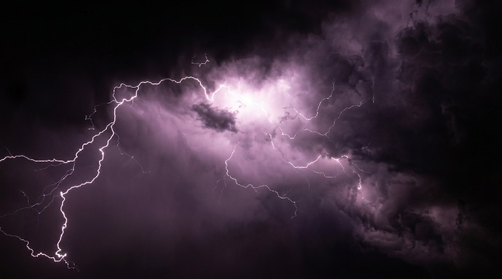
New Jersey faces dangerous Fourth of July weather as near-100°F temperatures, severe thunderstorms, and possible flash flooding threaten holiday travel, outdoor events, and fireworks celebrations.
WEBDESK – NJNEWSLINE
Will Flash Floods and Severe Storms Ruin New Jersey’s July 4 Weekend?
New Jersey residents are being urged to prepare for a dangerous mix of extreme heat, severe thunderstorms and possible flash flooding that could disrupt Fourth of July celebrations across the state.
Forecasters say temperatures could climb close to 100°F, while high humidity may push heat index values between 100°F and 110°F. Thunderstorms developing later in the day could bring damaging winds, torrential rain and localized flooding.
Dangerous Heat to Grip the State
The intense heat is expected to continue through Saturday, making outdoor activities potentially hazardous.
Health officials warn that prolonged exposure to high temperatures and humidity can increase the risk of heat exhaustion and heatstroke, especially for older adults, children and people with underlying medical conditions. Warm overnight temperatures are also expected to provide little relief.
Severe Thunderstorms Could Develop by Afternoon
Meteorologists are monitoring conditions for scattered to numerous thunderstorms expected to develop during the afternoon and evening.
Some storms could become severe, producing damaging wind gusts, dangerous lightning and intense rainfall. The strongest activity is expected between mid-afternoon and late evening, when many Independence Day events are scheduled.
Flash Flood Risk Continues to Increase
Forecasters say heavy rainfall may overwhelm drainage systems in some communities.
Urban streets, low-lying roads and flood-prone areas could quickly become dangerous if storms repeatedly move over the same locations. Residents are being advised to avoid driving through flooded roadways and to monitor emergency alerts throughout the holiday weekend.
Holiday Travel and Fireworks May Be Affected
The weather could impact millions of people planning to attend parades, fireworks displays, concerts and family gatherings.
Officials recommend checking local event updates before heading out, as changing weather conditions could lead to delays, postponements or cancellations in some areas. Travelers should also allow extra time because heavy rain may reduce visibility and create hazardous driving conditions.
Officials Urge Residents to Stay Prepared
Emergency management agencies are encouraging residents to stay hydrated, wear light clothing and limit strenuous outdoor activity during peak afternoon heat.
People attending outdoor celebrations should identify nearby shelter locations in case thunderstorms develop rapidly and should keep mobile weather alerts enabled throughout the day.
Weather Pattern Expected to Improve
While dangerous heat remains the primary concern through Saturday, cooler temperatures are expected to arrive after the holiday weekend.
However, weather experts caution that scattered thunderstorms and localized flooding may continue into Sunday before conditions gradually improve.
Safety Remains the Top Priority
With extreme heat and severe weather arriving together, officials say residents should remain alert and avoid unnecessary risks.
Staying informed, following official forecasts and adjusting outdoor plans when necessary can help reduce the impact of this holiday weekend’s challenging weather conditions.
